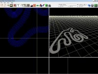
Hi, yesterday I race with a kart and loggin data with GPS 5Hz arround 18 laps, I made a average altitude points and the result is a 'precise' (precision in a cm)and smooth altitud line, but when I import to BTB I see a lot of "swings". I imported all points and when I compared the Y values to the original CSV values for altitud I see a big diference, so if the original CSV say that the first point is in 276.55m the imported in BTB is 275.32m and it is ramdomize, so the second point is 276.59 and in BTB is 277.20m
I don't know why BTB don't import point exactly how is in CSV, I tried to rectify the first 30 points and result is a track smooth. But rectify all points is a task too heavy, could be arranged if you load the points just as they are without adding random errors
I don't know why BTB don't import point exactly how is in CSV, I tried to rectify the first 30 points and result is a track smooth. But rectify all points is a task too heavy, could be arranged if you load the points just as they are without adding random errors

")